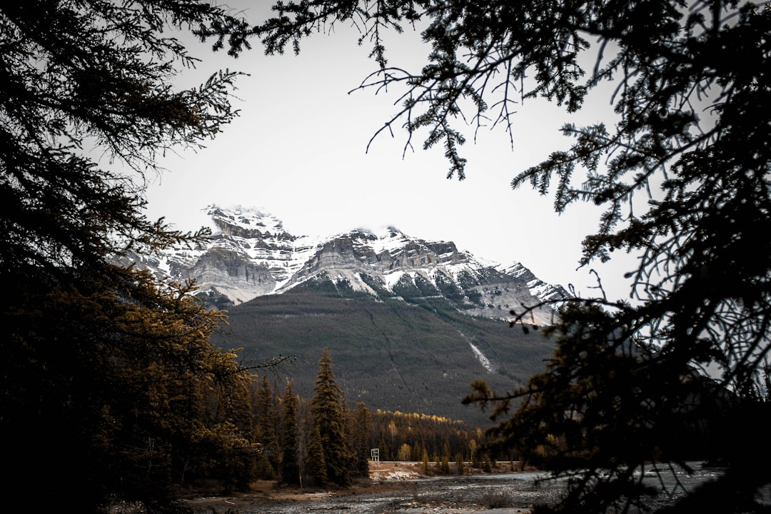
The Best Hill station Photo Spots around Athabasca Falls in Canada
Explore Hill station pictures of Athabasca Falls with the travel spots on a map
Download the Travel Map of Canada on Google Maps here
11 Hill station Spots of Athabasca Falls on a Map
Pictures of Hill station on the interacive map of Athabasca Falls
Download On Google Maps 🗺️📲Hill station Spots and Pictures around Athabasca Falls
Discover popular destinations in Athabasca Falls with their travel guides
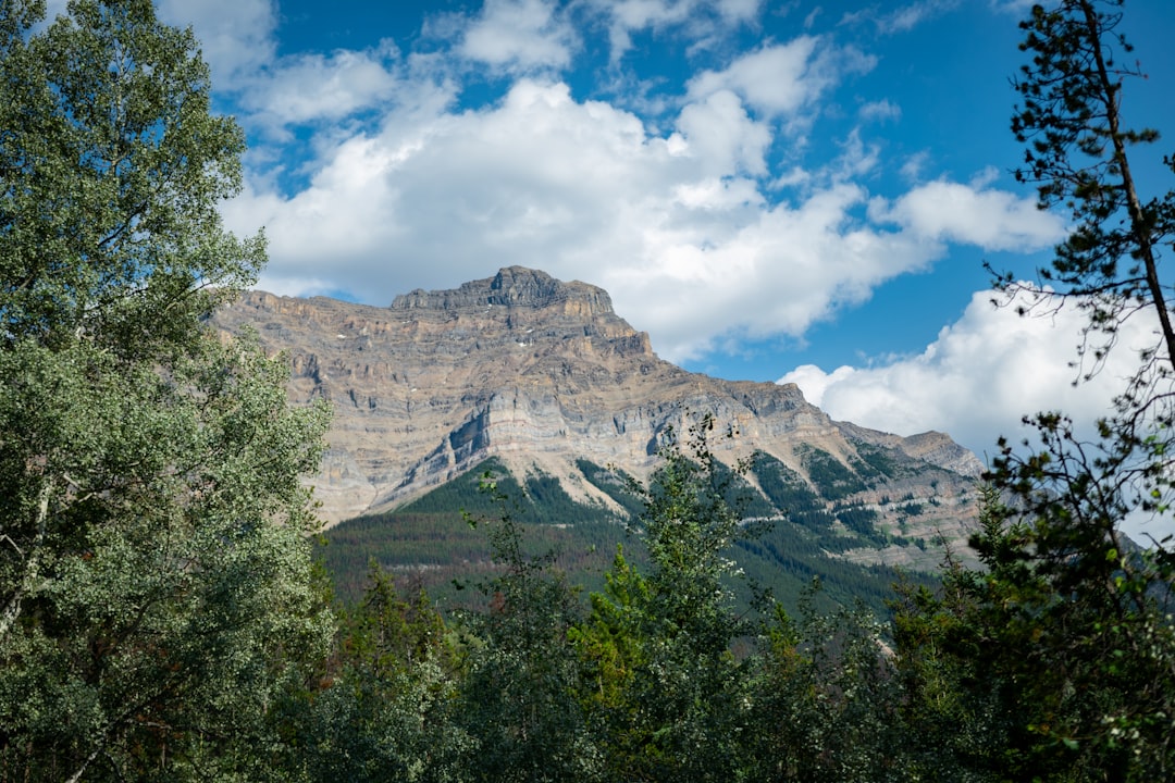
Athabasca Falls
Read the Travel guide View on Google Maps
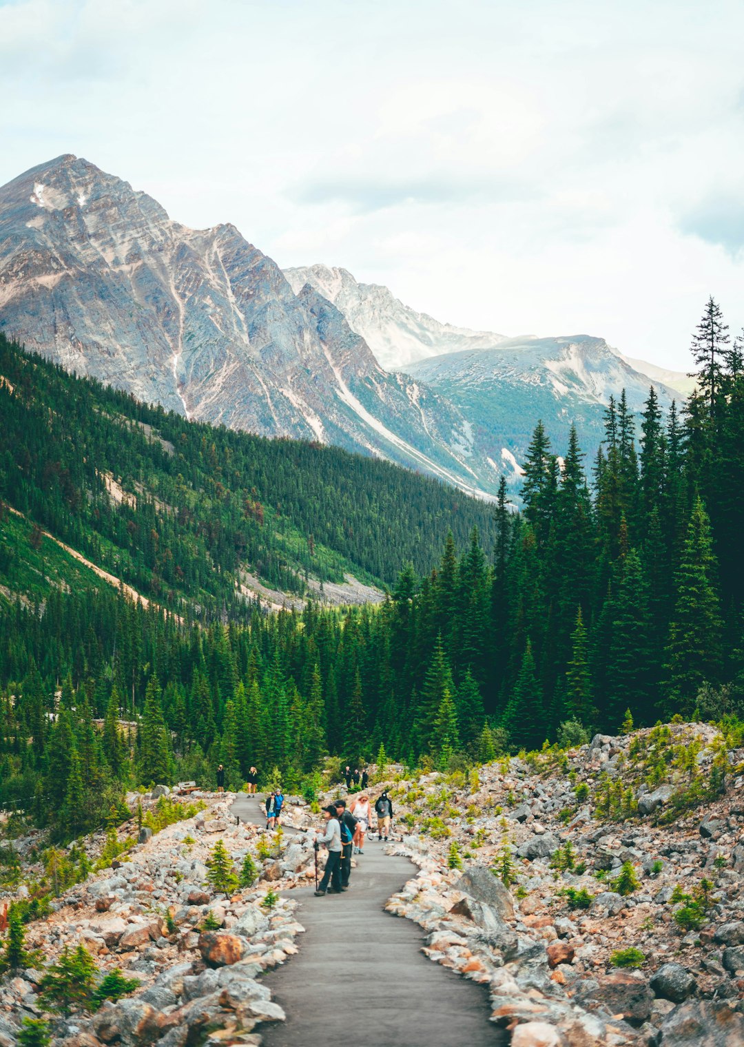
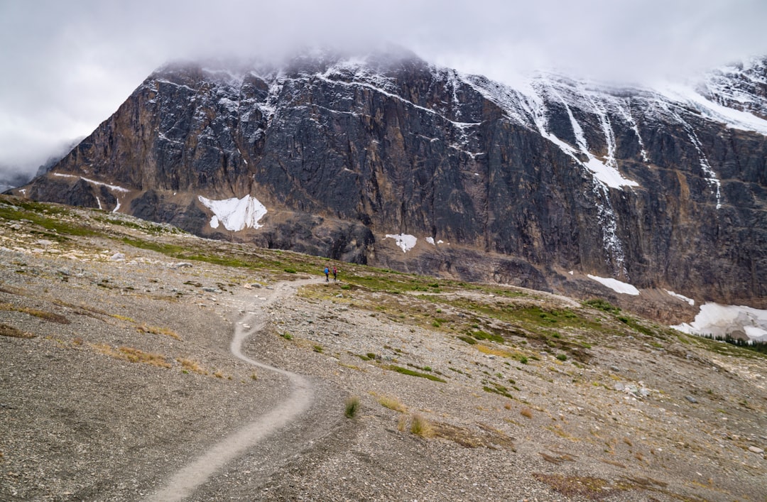
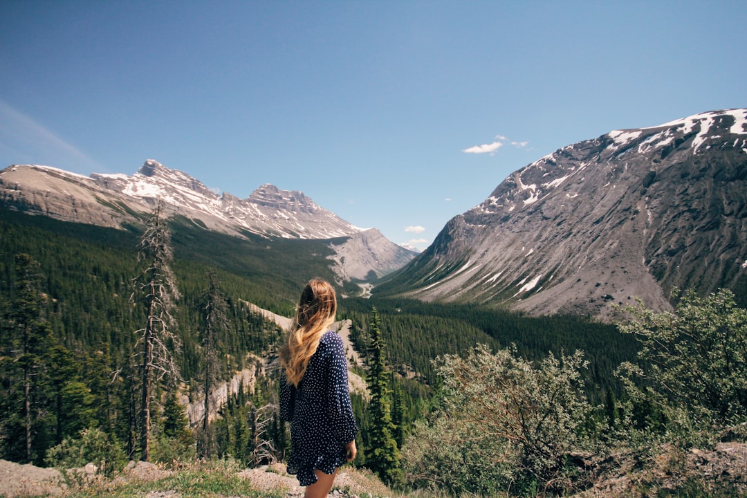
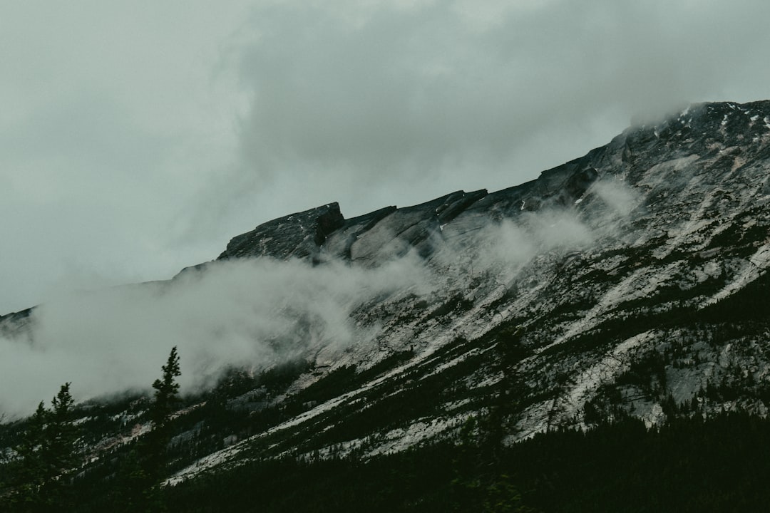
Edith Cavell Trail
11 km away from Athabasca Falls
Read the Travel guide View on Google Maps
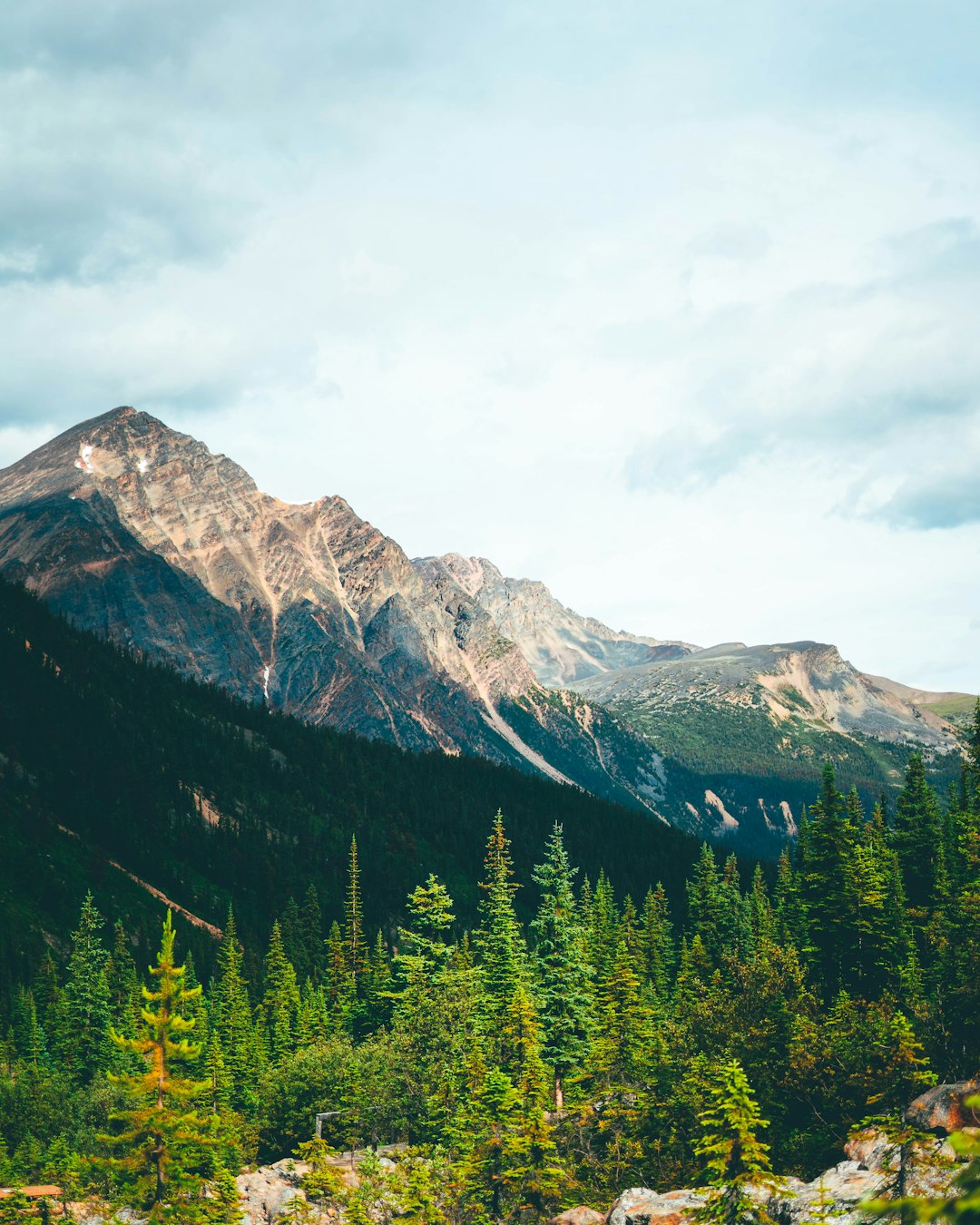
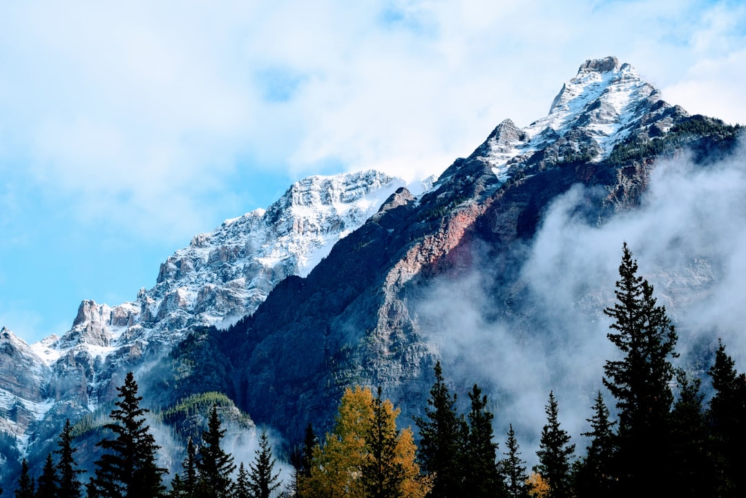
Mount Edith Cavell
12 km away from Athabasca Falls
Read the Travel guide View on Google Maps
AB-93
14 km away from Athabasca Falls
Read the Travel guide View on Google Maps
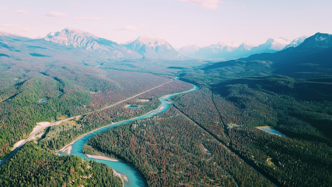
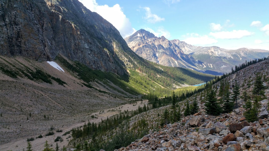
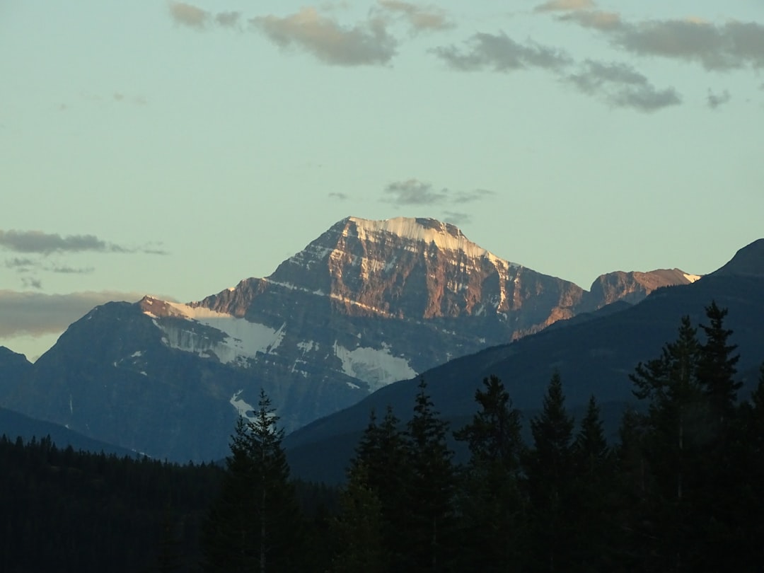
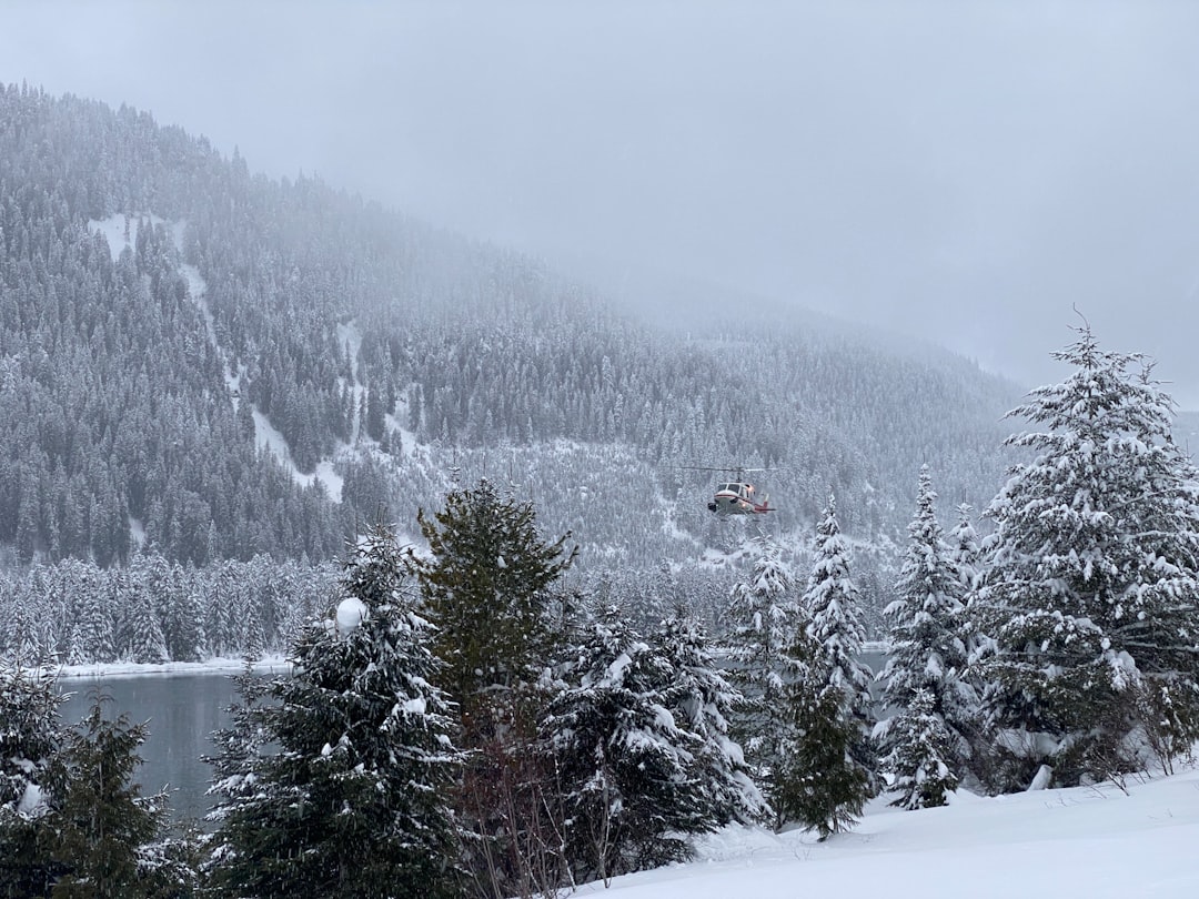
Jasper National Park
24 km away from Athabasca Falls
Read the Travel guide View on Google Maps
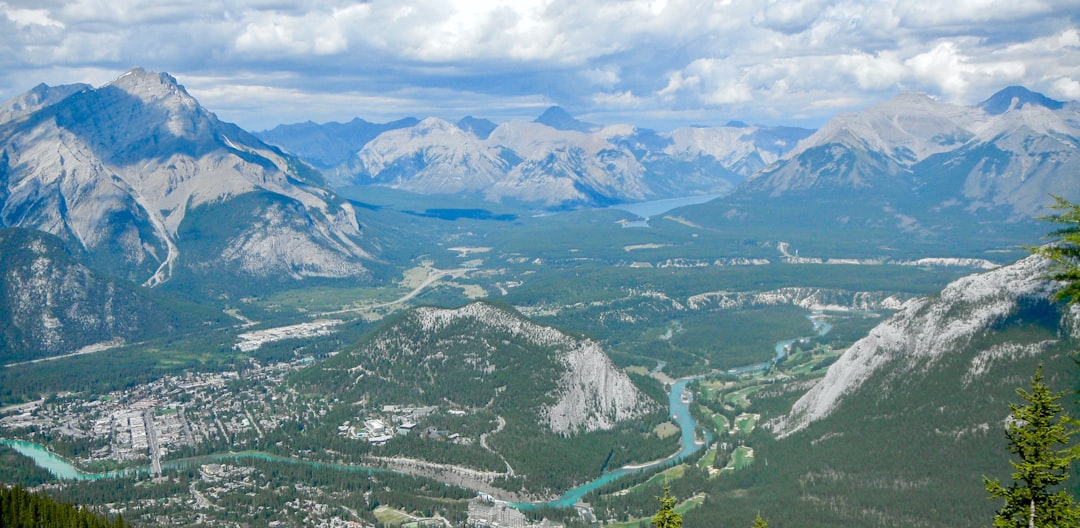
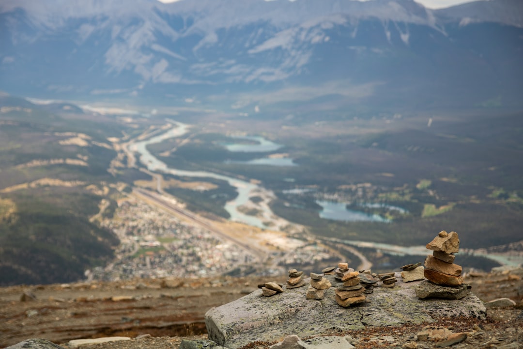
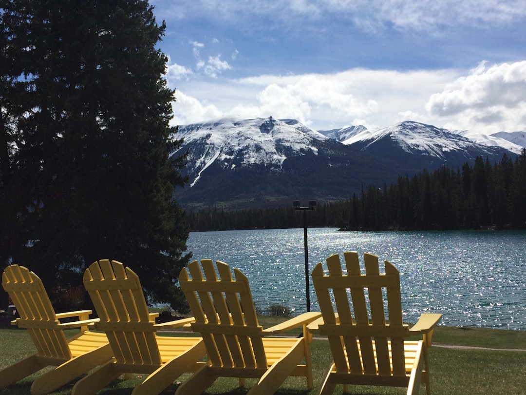
Jasper
27 km away from Athabasca Falls
Read the Travel guide View on Google Maps
Lac Beauvert Trail
27 km away from Athabasca Falls
Read the Travel guide View on Google Maps
Icefields Parkway
78 km away from Athabasca Falls
Read the Travel guide View on Google Maps
CMH Heli-Skiing & Summer Adventures - Monashees Lodge
86 km away from Athabasca Falls
Read the Travel guide View on Google Maps
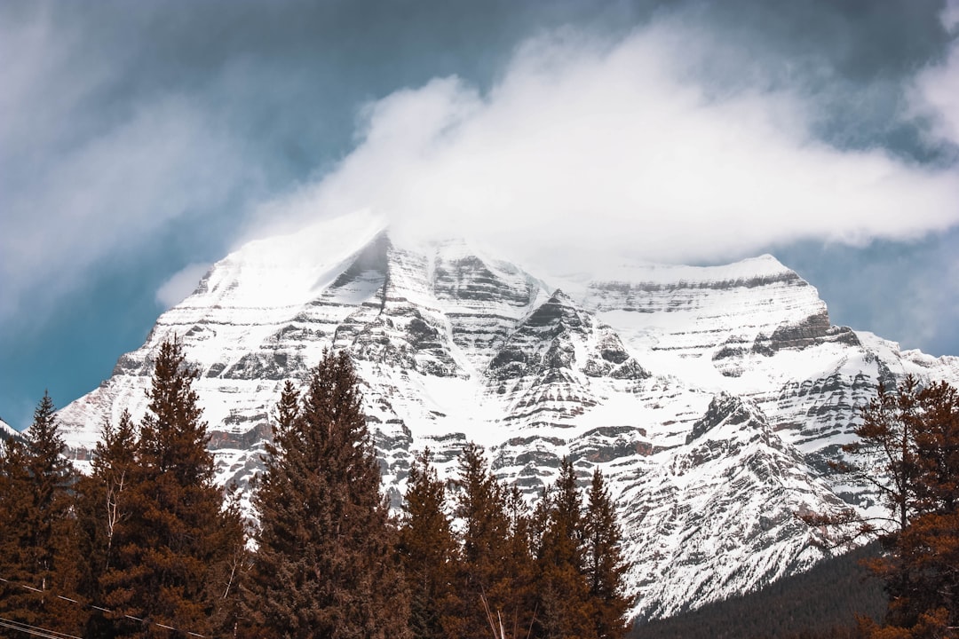
Mount Robson
99 km away from Athabasca Falls
Read the Travel guide View on Google Maps
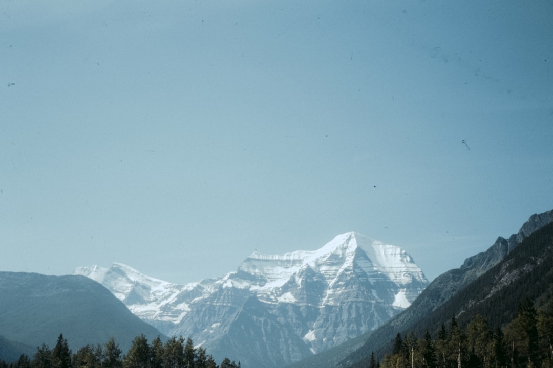
Mt Robson
99 km away from Athabasca Falls
Read the Travel guide View on Google Maps
Book your Travel Experience in Athabasca Falls
Discover the best tours and activities in Athabasca Falls and book your travel experience today with our booking partners
Learn More about Athabasca Falls
Find Hotels in Athabasca Falls
Discover the best hotels around Athabasca Falls, Canada and book your stay today with our booking partner booking.com